PHOENIX
Post-fire airborne Hazard Observation Environmental Network for Integrated Xposure-monitoring
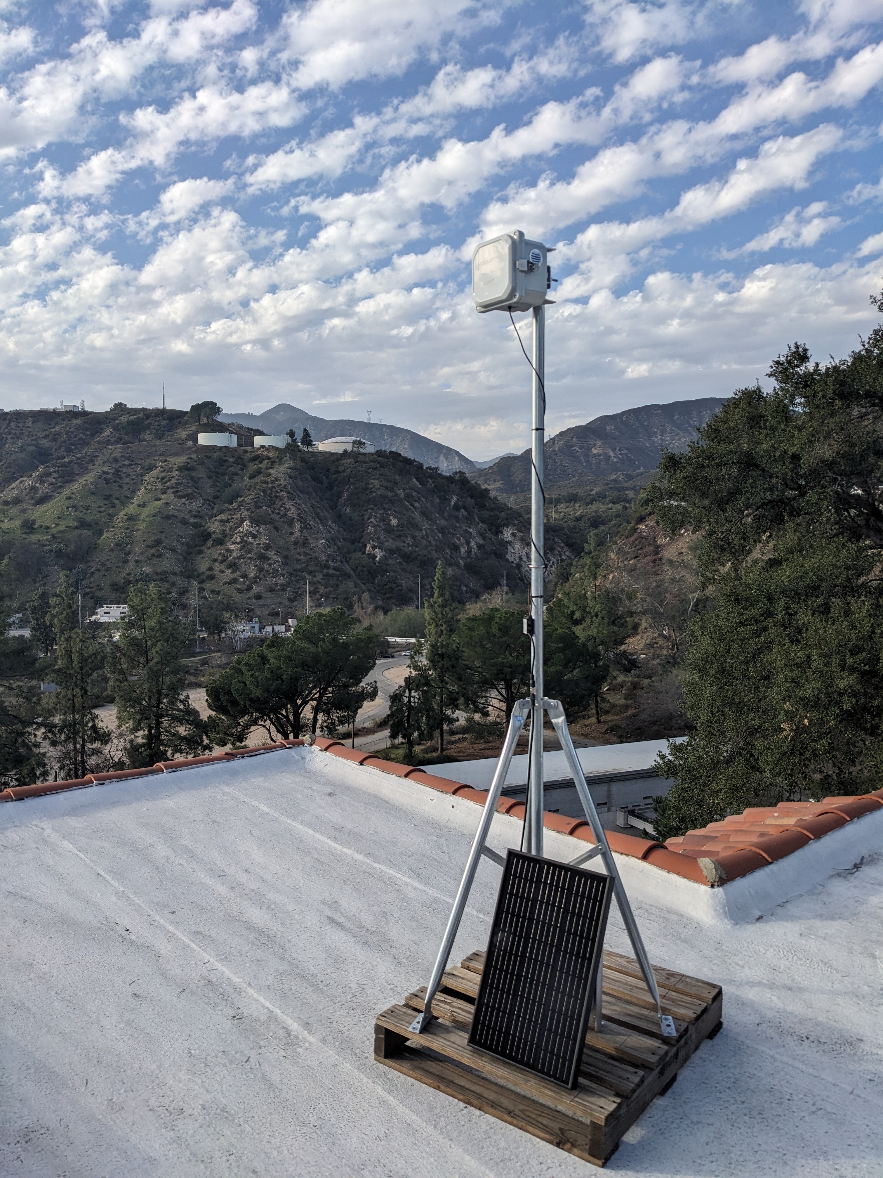
Caltech, in partnership with Altadena and Pasadena community members, has established an air quality monitoring network of 28 sensors, focused on measuring airborne dust and ash in and around the burned areas of Altadena.
Why PHOENIX?
Where does the air quality information displayed in weather apps on smartphones come from?
- Most of the data is reported by the US EPA via airnow.gov. This uses official sensors operated by the South Coast Air Quality Management District (AQMD), but these data are obtained in only a few locations in the county.
- EPA augments the official data with observations from citizen scientists who have deployed low-cost sensors at their homes, for example, sensors from PurpleAir.
What about after the 2025 Eaton Canyon fire?
Unfortunately, most of the low-cost sensors that were reporting data from Altadena were lost in the fire.
Our goal
To fill in this gap, Caltech together with community members, including many of the public and private schools as well as business owners have deployed particulate sensors across Altadena. The data from these sensors is available to everyone.
In the near future, Caltech scientists will provide additional analysis from the larger network that highlight dust events due to disturbance in the Altadena fire zone. However, we are releasing the sensor data now, to provide information to the public much like the information that was available before the fire from the EPA and PurpleAir.